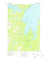
USGS Topo Quad Afognak B-2, Alaska
Download Afognak B-2
Download Afognak B-2
Southern Latitude:
58.2500 N
Eastern Longitude:
-152.3333
Northen Latitude:
58.5000 N
Western Longitude:
-152.6667
Bay(s) in Afognak B-2
Port William,
Big Waterfall Bay,
Daylight Harbor,
Delphin Bay,
Discoverer Bay,
Esther Lagoon,
Port Lawrence,
Little Waterfall Bay,
Pauls Bay,
Perenosa Bay,
Redfox Bay,
Cape(s) in Afognak B-2
Cape Current,
Delphin Point,
Lighthouse Point,
Shields Point,
Channel(s) in Afognak B-2
Big Fort Channel,
Cape Current Narrows,
Shuyak Strait,
Dam(s) in Afognak B-2
Port William Dam,
Island(s) in Afognak B-2
Afognak Island,
Big Fort Island,
Delphin Island,
Discoverer Island,
Lake(s) in Afognak B-2
Portage Lake,
Mountain(s) in Afognak B-2
Red Peak,
Village(s) in Afognak B-2
Port William,
