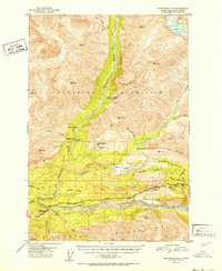
USGS Topo Quad Anchorage D-4, Alaska
Download Anchorage D-4
Download Anchorage D-4
Southern Latitude:
61.7500 N
Eastern Longitude:
-148.1250
Northen Latitude:
62.0000 N
Western Longitude:
-148.5000
Area(s) in Anchorage D-4
Nuk-din-itnu Kaq-,
Flat(s) in Anchorage D-4
Boulder Creek Flats,
Ice Climbing Route(s) in Anchorage D-4
Awesome Pillar,
Lake(s) in Anchorage D-4
Bonnie Lake,
Harrison Lake,
Long Lake,
Ravine Lake,
Rush Lake,
Upper Bonnie Lake,
Wiener Lake,
Mountain(s) in Anchorage D-4
Castle Mountain,
Puddingstone Hill,
Wardies Peak,
River(s) in Anchorage D-4
Chickaloon River,
Stream(s) in Anchorage D-4
Black Shale Creek,
Boulder Creek,
Boulder Creek,
California Creek,
Carbon Creek,
Chikootna Creek,
Coal Creek,
Doone Creek,
East Boulder Creek,
Meadow Creek,
Moss Creek,
Ninemile Creek,
Purinton Creek,
Riley Creek,
Saw Mill Creek,
Sawmill Creek,
Trail(s) in Anchorage D-4
Chickaloon Knik Nelchina Trail,
Chickaloon River Trail,
Village(s) in Anchorage D-4
Chickaloon,
