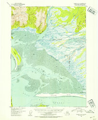
USGS Topo Quad Cordova A-1, Alaska
Download Cordova A-1
Download Cordova A-1
Southern Latitude:
60.0000 N
Eastern Longitude:
-144.0000
Northen Latitude:
60.2500 N
Western Longitude:
-144.3750
Bar(s) in Cordova A-1
Okalee Spit,
Bay(s) in Cordova A-1
Controller Bay,
Redwood Bay,
Cape(s) in Cordova A-1
Point Hey,
Lemesurier Point,
Punta de San Ramon,
Channel(s) in Cordova A-1
Okalee Channel,
Island(s) in Cordova A-1
Kanak Island,
Pass(s) in Cordova A-1
Kwinlatch Slough,
Range(s) in Cordova A-1
Don Miller Hills,
River(s) in Cordova A-1
Bering River,
Campbell River,
Edwardes River,
Nichawak River,
Okalee River,
Stream(s) in Cordova A-1
Barrett Creek,
Burls Creek,
Chilkat Creek,
Jessie Creek,
Kathleen Creek,
Marys Creek,
Puffy Creek,
Puffy Slough,
