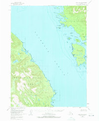
USGS Topo Quad Craig D-2, Alaska
Download Craig D-2
Download Craig D-2
Southern Latitude:
55.7500 N
Eastern Longitude:
-132.3333
Northen Latitude:
56.0000 N
Western Longitude:
-132.6667
Bay(s) in Craig D-2
Dewey Anchorage,
Little Ratz Harbor,
McHenry Anchorage,
Ratz Harbor,
Cape(s) in Craig D-2
Ernest Point,
Gull Point,
Kelp Point,
Narrow Point,
Ratz Point,
Channel(s) in Craig D-2
Clarence Strait,
Island(s) in Craig D-2
Avon Island,
Carlton Island,
Center Island,
Double Island,
Entrance Island,
Mabel Island,
Onslow Island,
Quartz Rock,
Split Island,
Lake(s) in Craig D-2
Big Lake,
Krogh Lake,
Trumpeter Lake,
Stream(s) in Craig D-2
Little Ratz Creek,
Ratz Creek,
Sal Creek,
Slide Creek,
