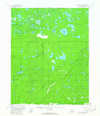
USGS Topo Quad Fort Yukon A-6, Alaska
Download Fort Yukon A-6
Download Fort Yukon A-6
Southern Latitude:
66.0000 N
Eastern Longitude:
-146.5000
Northen Latitude:
66.2500 N
Western Longitude:
-147.0000
Flat(s) in Fort Yukon A-6
Jefferson Meadows,
Lake(s) in Fort Yukon A-6
Abraham Lake,
Beaver Lake,
Clam Lake,
Gas Lake,
Halfway Lake,
Jefferson Lake,
John Roberts Lake,
Long Lake,
Long Lakes,
Long Slough,
Loon Lakes,
Lower Halfway Lake,
Michel Lake,
Ninemile Lake,
Olaf Lake,
Shoeheel Lake,
Stinking Lake,
Upper Halfway Lake,
Victor Lake,
Why Lake,
Willow Lake,
Stream(s) in Fort Yukon A-6
East Fork Flat Creek,
Flat Creek,
Jefferson Creek,
West Fork Flat Creek,
Valley(s) in Fort Yukon A-6
Mud Canyon,
