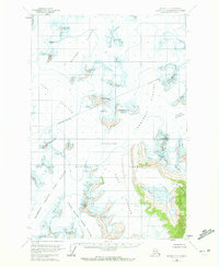
USGS Topo Quad Juneau C-1, Alaska
Download Juneau C-1
Download Juneau C-1
Southern Latitude:
58.5000 N
Eastern Longitude:
-134.0000
Northen Latitude:
58.7500 N
Western Longitude:
-134.3333
Basin(s) in Juneau C-1
Icy Basin,
Washington Basin,
Glacier(s) in Juneau C-1
Demorest Glacier,
Matthes Glacier,
North Branch Norris Glacier,
Southwest Branch Taku Glacier,
Taku Glacier,
Mountain(s) in Juneau C-1
Centurian Peak,
Exploration Peak,
Floprock Peak,
Guardian Mountain,
Hodgkins Peak,
Juncture Peak,
Organ Pipes,
Shoehorn Mountain,
Slanting Peak,
Vantage Peak,
Pass(s) in Juneau C-1
Echo Pass,
Ridge(s) in Juneau C-1
Goat Ridge,
The Scatter Peaks,
Valley(s) in Juneau C-1
Columbia Basin (not official),
