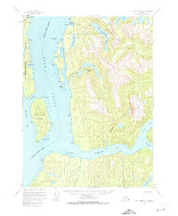
USGS Topo Quad Ketchikan B-3, Alaska
Download Ketchikan B-3
Download Ketchikan B-3
Southern Latitude:
55.2500 N
Eastern Longitude:
-130.6667
Northen Latitude:
55.5000 N
Western Longitude:
-131.0000
Bay(s) in Ketchikan B-3
Checats Cove,
Smeaton Bay,
Sweaton Bay,
Wasp Cove,
Cape(s) in Ketchikan B-3
Point Trollop,
Point Nelson,
Checats Point,
Edith Point,
Ella Point,
Harding Point,
Harris Point,
Short Point,
Slag Point,
Wasp Point,
Whale Point,
Channel(s) in Ketchikan B-3
Shoalwater Pass,
Short Pass,
Island(s) in Ketchikan B-3
Candle Island,
Carp Island,
Entrance Island,
Smeaton Island,
Stag Island,
Winstanley Island,
Lake(s) in Ketchikan B-3
Bakewell Lake,
Lower Checats Lake,
Upper Checats Lake,
Winstanley Lakes,
Stream(s) in Ketchikan B-3
Bartholomew Creek,
Carp Creek,
Checats Creek,
Ella Creek,
Skull Creek,
Winstanley Creek,
