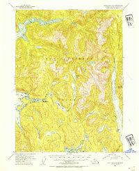
USGS Topo Quad Ketchikan C-5, Alaska
Download Ketchikan C-5
Download Ketchikan C-5
Southern Latitude:
55.5000 N
Eastern Longitude:
-131.3333
Northen Latitude:
55.7500 N
Western Longitude:
-131.6667
Bay(s) in Ketchikan C-5
Leask Cove,
Long Arm,
Moser Bay,
Naha Bay,
Shelter Cove,
Traitors Cove,
Cape(s) in Ketchikan C-5
Bat Point,
Cod Point,
Donnelly Point,
Nigelius Point,
Island(s) in Ketchikan C-5
Dogfish Island,
Lake(s) in Ketchikan C-5
Lake Bluff,
Chamberlain Lake,
Emma Lake,
Heckman Lake,
Jordan Lake,
Leask Lake,
Lower Wolf Lake,
Margaret Lake,
North Saddle Lake,
Orton Lake,
Patching Lake,
Roosevelt Lagoon,
Salt Lagoon,
Snow Lake,
South Saddle Lake,
Upper Wolf Lake,
River(s) in Ketchikan C-5
Naha River,
Stream(s) in Ketchikan C-5
Carroll Creek,
Emma Creek,
Falls Creek,
Gunsight Creek,
Leask Creek,
Licking Creek,
Margaret Creek,
Traitors Creek,
Wolf Creek,
Trail(s) in Ketchikan C-5
Naha River Trail,
Wolf Lake Trail,
Village(s) in Ketchikan C-5
Loring,
