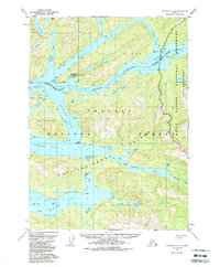
USGS Topo Quad Ketchikan D-5, Alaska
Download Ketchikan D-5
Download Ketchikan D-5
Southern Latitude:
55.7500 N
Eastern Longitude:
-131.3333
Northen Latitude:
56.0000 N
Western Longitude:
-131.6667
Bay(s) in Ketchikan D-5
Bailey Bay,
Bell Arm,
Fire Cove,
Klu Bay,
Neets Bay,
Rockfish Cove,
Short Bay,
Shrimp Bay,
Cape(s) in Ketchikan D-5
Point Lees,
Claude Point,
Curlew Point,
Dress Point,
Elsie Point,
Fin Point,
Snipe Point,
Channel(s) in Ketchikan D-5
Anchor Pass,
Behm Narrows,
Blind Pass,
Gedney Pass,
Hassler Pass,
Sealed Passage,
Island(s) in Ketchikan D-5
Bell Island,
Black Island,
Bug Island,
Clam Island,
Hassler Island,
Lake(s) in Ketchikan D-5
Bell Island Lakes,
Lake Bess,
Bluff Lake,
Cedar Lake,
Claude Lake,
Long Lake,
Lake Maude,
Neets Lake,
Orchard Lake,
Pine Lake,
Lake Shelokum,
Stream(s) in Ketchikan D-5
Beaver Creek,
Cow Creek,
Klam Creek,
Klu Creek,
Neets Creek,
Orchard Creek,
Spring Creek,
Village(s) in Ketchikan D-5
Bell Island Hot Springs,
