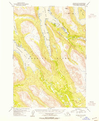
USGS Topo Quad Kodiak C-5, Alaska
Download Kodiak C-5
Download Kodiak C-5
Southern Latitude:
57.5000 N
Eastern Longitude:
-153.3333
Northen Latitude:
57.7500 N
Western Longitude:
-153.6667
Bar(s) in Kodiak C-5
Packers Spit,
Bay(s) in Kodiak C-5
East Arm Uganik Bay,
South Arm Uganik Bay,
Telrod Cove,
Weasel Cove,
Cape(s) in Kodiak C-5
Mink Point,
Stream Point,
Island(s) in Kodiak C-5
Sally Island,
Lake(s) in Kodiak C-5
Mush Lake,
Mountain(s) in Kodiak C-5
Dog Ear Mountain,
Helmet Mountain,
River(s) in Kodiak C-5
Uganik River,
Stream(s) in Kodiak C-5
Trail Creek,
