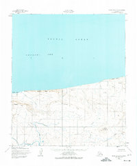
USGS Topo Quad Point Hope D-1, Alaska
Download Point Hope D-1
Download Point Hope D-1
Southern Latitude:
68.7500 N
Eastern Longitude:
-165.0000
Northen Latitude:
69.0000 N
Western Longitude:
-165.6000
Abandoned Towns(s) in Point Hope D-1
Initkilly,
Cliff(s) in Point Hope D-1
Corwin Bluff,
Hill(s) in Point Hope D-1
Kitkonak Hill,
Mine(s) in Point Hope D-1
Corwin Mine,
Mountain(s) in Point Hope D-1
North Aluk Hill,
Range(s) in Point Hope D-1
Ayugatak Hills,
Ridge(s) in Point Hope D-1
Sapumik Ridge,
Stream(s) in Point Hope D-1
Arrow Creek,
Corwin Creek,
Isuk Creek,
Kukruk Creek,
Nigiktlik Creek,
Risky Creek,
