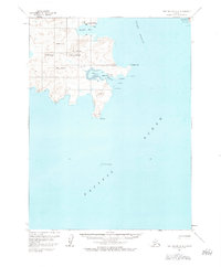
USGS Topo Quad Port Moller A-2, Alaska
Download Port Moller A-2
Download Port Moller A-2
Southern Latitude:
55.0000 N
Eastern Longitude:
-160.3333
Northen Latitude:
55.2500 N
Western Longitude:
-160.6667
Bay(s) in Port Moller A-2
Baralof Bay,
Blind Breaker,
Delarof Harbor,
Shoal Bay,
Beach(s) in Port Moller A-2
Ocean Beach,
Cape(s) in Port Moller A-2
Unga Cape,
Cliff(s) in Port Moller A-2
Popof Head,
Dam(s) in Port Moller A-2
Squaw Harbor Dam,
Hill(s) in Port Moller A-2
Flagstaff Hill,
Island(s) in Port Moller A-2
Cross Island,
Egg Island,
Elephant Rock,
Halfway Rock,
Kelly Rock,
Sealion Rocks,
Mine(s) in Port Moller A-2
Apollo Mine,
Mountain(s) in Port Moller A-2
Apollo Mountain,
Bloomer Peak,
Red Mountain,
Village(s) in Port Moller A-2
Squaw Harbor,
Unga,
