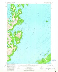
USGS Topo Quad Seward B-2, Alaska
Download Seward B-2
Download Seward B-2
Southern Latitude:
60.2500 N
Eastern Longitude:
-147.3750
Northen Latitude:
60.5000 N
Western Longitude:
-147.7500
Bar(s) in Seward B-2
Manning Rocks,
Pennsylvania Rock,
Bay(s) in Seward B-2
Bay of Isles,
Herring Bay,
Louis Bay,
Marsha Bay,
Mew Cove,
Northeast Cove,
Rua Cove,
Short Arm,
Short Arm Bay of Isles,
Snug Harbor,
Solf Cove,
South Arm Bay of Isles,
West Arm Bay of Isles,
Cape(s) in Seward B-2
Putnam Point,
Channel(s) in Seward B-2
Foul Pass,
Lower Passage,
Cliff(s) in Seward B-2
Yellow Cliffs,
Island(s) in Seward B-2
Applegate Rock,
Disk Island,
Green Island,
Knight Island,
Seal Island,
Sphinx Island,
Lake(s) in Seward B-2
Otter Lake,
Solf Lake,
Mountain(s) in Seward B-2
Iron Mountain,
