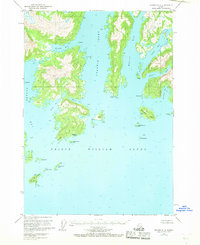
USGS Topo Quad Seward D-2, Alaska
Download Seward D-2
Download Seward D-2
Southern Latitude:
60.7500 N
Eastern Longitude:
-147.3750
Northen Latitude:
61.0000 N
Western Longitude:
-147.7500
Abandoned Towns(s) in Seward D-2
Kiniklik,
Bay(s) in Seward D-2
Cedar Bay,
Eaglek Bay,
Fairmount Bay,
Granite Bay,
Mueller Cove,
Olsen Cove,
Schoppe Bay,
Siwash Bay,
Wells Bay,
Cape(s) in Seward D-2
Point Pellew,
Fairmount Point,
Granite Point,
Point Pellow,
Unakwik Point,
Island(s) in Seward D-2
Axel Lind Island,
Block Island,
Cascade Island,
Eaglek Island,
Fairmount Island,
Jenny Islands,
Kiniklik Island,
Little Axel Lind Island,
Little Fairmount Island,
Olsen Island,
Outpost Island,
Siwash Island,
Peak(s) in Seward D-2
Yellow Cedar Peak,
Zwaccpunik Peak,
