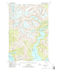
USGS Topo Quad Taku River A-6, Alaska
Download Taku River A-6
Download Taku River A-6
Southern Latitude:
58.0000 N
Eastern Longitude:
-133.6667
Northen Latitude:
58.2500 N
Western Longitude:
-134.0000
Bay(s) in Taku River A-6
Limestone Inlet,
Mallard Cove,
Port Snettisham,
Cape(s) in Taku River A-6
Bogert Point,
Bride Point,
Crib Point,
Prospect Point,
Sharp Point,
Speel Point,
Star Point,
Channel(s) in Taku River A-6
The Gorge,
Speel Arm,
Dam(s) in Taku River A-6
Snettisham Dam,
Tease Lake Dam,
Island(s) in Taku River A-6
Fannie Island,
Lake(s) in Taku River A-6
Crater Lake,
Lake Dorothy,
Long Lake,
Long Lake,
Mine(s) in Taku River A-6
Whigg Placer Mine,
Mountain(s) in Taku River A-6
Arthur Peak,
Everett Peak,
Fillmore Peak,
Limestone Bluffs,
Steeple Peak,
Webster Peak,
River(s) in Taku River A-6
Speel River,
Stream(s) in Taku River A-6
Crater Creek,
Glacier Creek,
Limestone Creek,
Prospect Creek,
