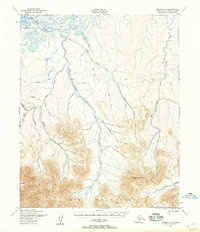
USGS Topo Quad Teller C-5, Alaska
Download Teller C-5
Download Teller C-5
Southern Latitude:
65.5000 N
Eastern Longitude:
-167.0000
Northen Latitude:
65.7500 N
Western Longitude:
-167.5000
Mountain(s) in Teller C-5
Brooks Mountain,
River(s) in Teller C-5
Mint River,
Yankee River,
Stream(s) in Teller C-5
Alma Creek,
Buck Creek,
Clara Creek,
East Fork Buck Creek,
East Fork Grouse Creek,
Grouse Creek,
Mariposa Creek,
Ophir Creek,
Peluck Creek,
Skookum Creek,
South Fork Buck Creek,
South Fork Grouse Creek,
Sterling Creek,
Tapioca Creek,
Whitehorse Creek,
