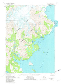
USGS Topo Quad Ugashik A-2, Alaska
Download Ugashik A-2
Download Ugashik A-2
Southern Latitude:
57.0000 N
Eastern Longitude:
-156.3333
Northen Latitude:
57.2500 N
Western Longitude:
-156.6667
Bay(s) in Ugashik A-2
Agripina Bay,
Imuya Bay,
Port Wrangell,
Cape(s) in Ugashik A-2
Cape Kilokak,
Island(s) in Ugashik A-2
Ashiiak Island,
David Island,
Flat Island,
Lone Rock,
Poltava Island,
River(s) in Ugashik A-2
Agripina River,
Stream(s) in Ugashik A-2
Glacier Creek,
Kilokak Creek,
