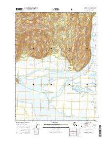
USGS Topo Quad Cordova A-1 NW, Alaska
Download Cordova A-1 NW
Download Cordova A-1 NW
Southern Latitude:
60.1250 N
Eastern Longitude:
-144.1875
Northen Latitude:
60.2500 N
Western Longitude:
-144.3750
Cape(s) in Cordova A-1 NW
Point Hey,
Island(s) in Cordova A-1 NW
Kanak Island,
Range(s) in Cordova A-1 NW
Don Miller Hills,
River(s) in Cordova A-1 NW
Bering River,
Campbell River,
Nichawak River,
Stream(s) in Cordova A-1 NW
Barrett Creek,
Burls Creek,
Chilkat Creek,
Marys Creek,
Puffy Creek,
Puffy Slough,
