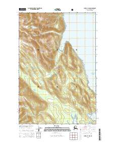
Download Juneau C-4 NW
Southern Latitude:
58.6250 N
Eastern Longitude:
-135.1667
Northen Latitude:
58.7500 N
Western Longitude:
-135.3333