Download Kateel River A-4 SE
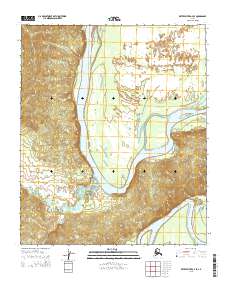
Southern Latitude:
65.0000 N
Eastern Longitude:
-157.5000
Northen Latitude:
65.1250 N
Western Longitude:
-157.7500