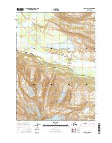
USGS Topo Quad Valdez A-6 SW, Alaska
Download Valdez A-6 SW
Download Valdez A-6 SW
Southern Latitude:
61.0000 N
Eastern Longitude:
-146.0625
Northen Latitude:
61.1250 N
Western Longitude:
-146.2500
Basin(s) in Valdez A-6 SW
Washbowl Basin,
Glacier(s) in Valdez A-6 SW
Glacier G213784E61033N,
Glacier G213798E61012N,
Glacier G213804E61037N,
Glacier G213860E61028N,
Lake(s) in Valdez A-6 SW
Crater Lake,
Deep Lake,
Robe Lake,
Locale(s) in Valdez A-6 SW
Alaska Guide Company - Office,
Tombstone Wall,
Mountain(s) in Valdez A-6 SW
Mount Francis,
Peak(s) in Valdez A-6 SW
Bob's Knob,
Comstock,
Embick,
River(s) in Valdez A-6 SW
Robe River,
Stream(s) in Valdez A-6 SW
Abercrombie Creek,
Cameron Creek,
Canyon Slough,
Corbin Creek,
Goat Creek,
Trail(s) in Valdez A-6 SW
Dayville Power Line Trail,
Mount Francis Winter Trail,
Hogsback Trail,
Levee to Valdez Glacier Trail,
Northern Robe Lake Trail,
River Drive Trail,
Robe River Hogsback Access Trail,
Southern Robe Lake Trail,
Valley(s) in Valdez A-6 SW
Goat Gully,
Sulphide Gulch,
