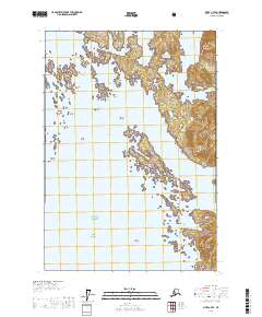
USGS Topo Quad Sitka C-7 SE, Alaska
Download Sitka C-7 SE
Download Sitka C-7 SE
Southern Latitude:
57.5000 N
Eastern Longitude:
-136.0000
Northen Latitude:
57.6250 N
Western Longitude:
-136.1667
Bar(s) in Sitka C-7 SE
Black Rock,
Guide Rock,
Khaz Breakers,
Middle Breaker,
Ninefoot Shoal,
Outer Rocks,
Bay(s) in Sitka C-7 SE
Double Cove,
Khaz Bay,
Cape(s) in Sitka C-7 SE
Clearing Point,
Copper Point,
Khaz Head,
Khaz Point,
Quit Point,
Slope Point,
Takeena Peninsula,
Trap Point,
Channel(s) in Sitka C-7 SE
Elbow Passage,
The Gate,
Piehle Passage,
Rough Channel,
Smooth Channel,
Island(s) in Sitka C-7 SE
Baird Island,
Deuce Island,
Gray Rock,
Klag Island,
Oval Rock,
Ramp Island,
Shale Island,
Three Tree Island,
Twin Island,
Vorota Island,
Lake(s) in Sitka C-7 SE
Sister Lake,
Mountain(s) in Sitka C-7 SE
Flat Top Mountain,
