Download Ketchikan A-5 NW
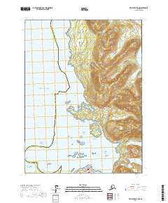
Southern Latitude:
55.1250 N
Eastern Longitude:
-131.5000
Northen Latitude:
55.2500 N
Western Longitude:
-131.6667