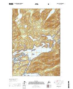
USGS Topo Quad Sitka C-2 SE, Alaska
Download Sitka C-2 SE
Download Sitka C-2 SE
Southern Latitude:
57.5000 N
Eastern Longitude:
-134.3333
Northen Latitude:
57.6250 N
Western Longitude:
-134.5000
Bar(s) in Sitka C-2 SE
Kiuchman Rock,
Bay(s) in Sitka C-2 SE
Kanalku Bay,
Mitchell Bay,
Cape(s) in Sitka C-2 SE
Bryant Point,
Cedar Point,
Hemlock Point,
North Point,
Passage Point,
Ponte Point,
South Point,
Termination Point,
Cliff(s) in Sitka C-2 SE
Dead Tree Bluff,
Island(s) in Sitka C-2 SE
Deception Island,
Diamond Island,
Kinchman Rock,
Long Island,
Passage Island,
South America Island,
Stone Island,
Target Island,
Woodchoppers Island,
Lake(s) in Sitka C-2 SE
Davidson Lake,
Fresh Water Lake,
Salt Lake,
Stream(s) in Sitka C-2 SE
Davis Creek,
Freshwater Creek,
Jims Creek,
Lighter Creek,
Trail(s) in Sitka C-2 SE
Fresh Water Thayer Trail,
Mitchell Bay Trail,
Waterfall(s) in Sitka C-2 SE
The Falls,
