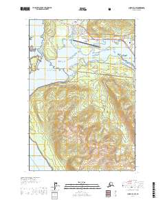
USGS Topo Quad Juneau B-2 SW, Alaska
Download Juneau B-2 SW
Download Juneau B-2 SW
Southern Latitude:
58.2500 N
Eastern Longitude:
-134.5000
Northen Latitude:
58.3750 N
Western Longitude:
-134.6667
Abandoned Towns(s) in Juneau B-2 SW
Fish Creek,
Bar(s) in Juneau B-2 SW
Battleship Reef,
Mendenhall Bar,
Bay(s) in Juneau B-2 SW
Fritz Cove,
Smugglers Cove,
Cape(s) in Juneau B-2 SW
Entrance Point,
Hut Point,
Mendenhall Peninsula,
Spuhn Point,
Sunny Point,
Hill(s) in Juneau B-2 SW
Pederson Hill,
Island(s) in Juneau B-2 SW
Battleship Island,
Douglas Island,
Spuhn Island,
Suedla Island,
Lake(s) in Juneau B-2 SW
Cropley Lake,
Mountain(s) in Juneau B-2 SW
Mount Anderson,
Mount Ben Stewart,
Mount Meek,
Saddle Mountain,
Table Top Mountain,
River(s) in Juneau B-2 SW
Mendenhall River,
Stream(s) in Juneau B-2 SW
Cove Creek,
Duck Creek,
Elevenmile Creek,
Fish Creek,
Hendrickson Creek,
Johnson Creek,
Jordan Creek,
Lemon Creek,
Ninemile Creek,
Switzer Creek,
Valley(s) in Juneau B-2 SW
Mendenhall Valley,
