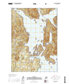
USGS Topo Quad Sitka A-5 NW, Alaska
Download Sitka A-5 NW
Download Sitka A-5 NW
Southern Latitude:
57.1250 N
Eastern Longitude:
-135.5000
Northen Latitude:
57.2500 N
Western Longitude:
-135.6667
Archipelago(s) in Sitka A-5 NW
Magoun Islands,
Bay(s) in Sitka A-5 NW
Port Krestof,
Crab Bay,
DeGroff Bay,
Krestof Sound,
Mud Bay,
Promisla Bay,
Sukoi Inlet,
Whitestone Cove,
Cape(s) in Sitka A-5 NW
Point Brown,
Creek Point,
Escape Cape,
Halleck Point,
Kamenoi Point,
Kresta Point,
Neva Point,
Olga Point,
Partof Point,
Rob Point,
Whitestone Point,
Channel(s) in Sitka A-5 NW
East Channel Hayward Strait,
Hayward Strait,
West Channel Hayward Strait,
Whitestone Narrows,
Island(s) in Sitka A-5 NW
Bare Island,
Bart Island,
Brady Island,
Double Island,
Guide Island,
Krestof Island,
Mills Island,
Nadezhda Islands,
Sound Islands,
Whitestone Rock,
Park(s) in Sitka A-5 NW
Magoun Islands State Marine Park,
