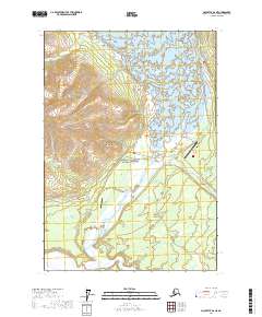
USGS Topo Quad McCarthy B-6 NE, Alaska
Download McCarthy B-6 NE
Download McCarthy B-6 NE
Southern Latitude:
61.3750 N
Eastern Longitude:
-142.8750
Northen Latitude:
61.5000 N
Western Longitude:
-143.0625
City(s) in McCarthy B-6 NE
McCarthy,
Dam(s) in McCarthy B-6 NE
Jim Edwards Dam,
Park(s) in McCarthy B-6 NE
Kennecott Mines National Historic Landmark,
River(s) in McCarthy B-6 NE
Kennicott River,
Stream(s) in McCarthy B-6 NE
Bonanza Creek,
Farm Creek,
Fireweed Creek,
McCarthy Creek,
National Creek,
Swift Creek,
Trail(s) in McCarthy B-6 NE
Bonanza-Jumbo Mine Road,
Root Glacier Trail,
Valley(s) in McCarthy B-6 NE
Fivemile Gulch,
Village(s) in McCarthy B-6 NE
Kennicott,
